


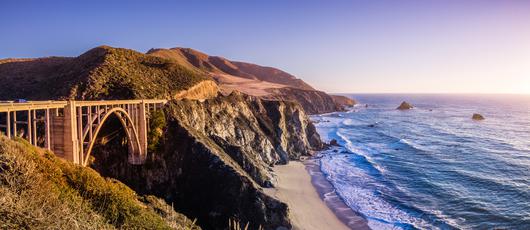


11 Must-Try Waterfall Hikes in Los Angeles
All waterfall hikes in L.A. have one thing in common—unbeatable views of terrific cascades. Here are the ones to try next.
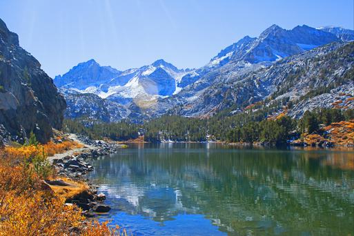
Looking for a challenge and see California's remarkable beauty? Here's a breakdown on how to hike the highest mountain in California.

3 min read
September 09, 2024
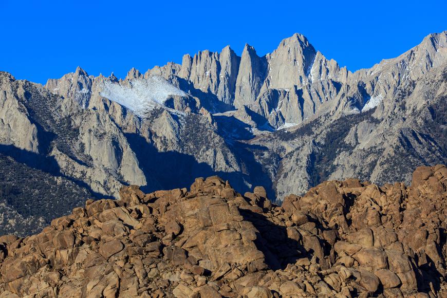
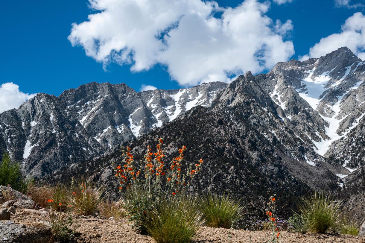
Mount Whitney, towering at 14,505 feet, is the highest mountain in California and the contiguous United States. Located in the Sierra Nevada range, it’s a challenging yet iconic hike that offers stunning alpine scenery, thrilling elevation gain, and a tremendous sense of accomplishment. However, summiting Mount Whitney requires careful planning, physical preparation, and respect for the mountain’s unpredictable nature. This detailed guide will help you prepare for one of the most demanding yet rewarding hiking experiences in California.
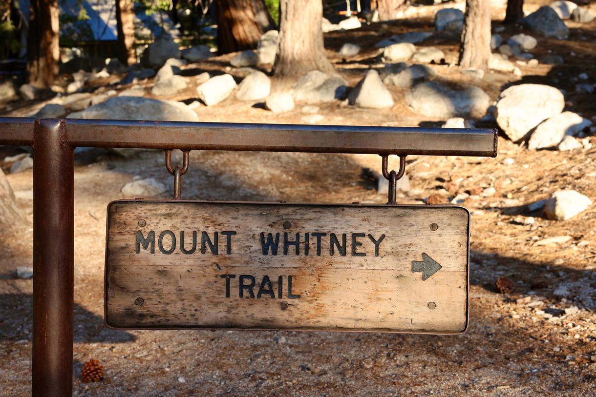
Mount Whitney's hike is typically done via the Mount Whitney Trail, a 22-mile round trip with an elevation gain of 6,145 feet. Most people tackle this as a day hike, starting in the early hours and returning before nightfall. However, due to its difficulty, some hikers opt for a two-day trip, camping overnight at Outpost Camp (10,400 feet) or Trail Camp (12,000 feet) to acclimatize and split the distance.
Permits are required year-round, but during the peak season (May through October), a lottery system is used to distribute them due to high demand. The lottery typically opens in February, and you can submit up to 15 permit applications. Outside this period, permits are first-come, first-served, and are generally easier to obtain in the shoulder months like May and October, though the weather is more unpredictable.
For those unable to secure a permit through the lottery, walk-up permits are available but highly competitive. You can try your luck at the Eastern Sierra Interagency Visitor Center near Lone Pine, where unclaimed permits are handed out.
Hiking Mount Whitney is safest between June and September when the trail is free from snow and temperatures are milder. However, even in summer, afternoon thunderstorms are common, so starting your hike as early as 2 or 3 AM is recommended. In May and October, snow and ice often linger on the trail, requiring additional equipment like crampons and an ice axe. Winter hikes (November through April) require mountaineering skills, as the trail is often buried under deep snow.
Summiting Mount Whitney is not just about the distance or elevation gain; the high altitude makes it a serious physical challenge. Altitude sickness is a real concern, and many hikers experience symptoms like headaches, nausea, and dizziness above 10,000 feet.
To improve your chances of avoiding altitude sickness, consider spending a few days acclimating at higher elevations before your hike. Popular spots for acclimatization include Horseshoe Meadows (10,000 feet), Onion Valley (9,200 feet), and Mammoth Lakes (7,800 feet). Spend time hiking in these areas to get your body accustomed to the thinner air.
Prepare by hiking trails with steep elevation gains, preferably over long distances. Focus on endurance with cardio workouts like running, stair climbing, or cycling, and incorporate leg strength training exercises like lunges and squats. If possible, train at higher altitudes to simulate the conditions on Mount Whitney.
Packing appropriately can make or break your Mount Whitney experience. Here’s what you’ll need:
Whitney Portal to Lone Pine Lake (2.8 miles): The trail starts at Whitney Portal (8,360 feet) and ascends gradually through pine forests. Lone Pine Lake (9,865 feet) offers a beautiful spot for a quick rest.
Lone Pine Lake to Outpost Camp (1.5 miles): After passing Lone Pine Lake, the trail becomes steeper. Outpost Camp (10,365 feet) has a stream where you can refill your water supply.
Outpost Camp to Trail Camp (4.2 miles): The trail continues to climb, eventually reaching Trail Camp at 12,000 feet, the most common overnight campsite. Here, the landscape becomes more rugged, with little vegetation.
Trail Camp to Summit (4.8 miles): This is the hardest part of the hike. First, you’ll tackle the infamous 99 Switchbacks, a series of zigzagging paths that climb 1,600 feet. After reaching Trail Crest (13,600 feet), you’ll traverse the backside of the mountain before the final push to the summit.
Hiking Mount Whitney is a challenging but unforgettable experience. With proper planning, physical preparation, and a respect for the mountain’s conditions, you can safely summit the highest peak in California and relish the breathtaking views from the top.

All waterfall hikes in L.A. have one thing in common—unbeatable views of terrific cascades. Here are the ones to try next.
Discover how to track and prepare for meteor showers in California for a spectacular celestial viewing experience.
Ditch the busy Spring Break crowds and check out these fantastic, underrated spring travel destinations in California.
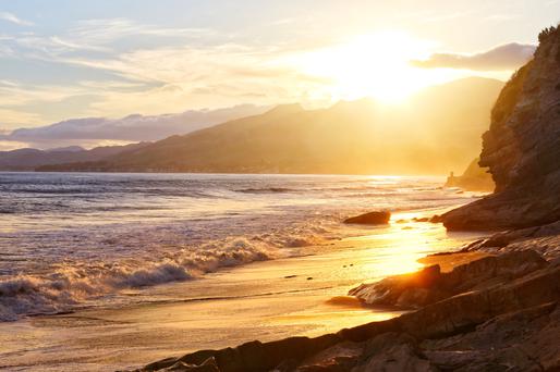
Gaze into California's amazing sunsets with our exploration of the top sunrise spots in California.

